
●REC 4KA2 certifiedEU 2019/947
Aerial footage and data from places you can't reach from the ground.
Video, photography, 360° imagery and inspections by drone. Stabilised aircraft for precision work, FPV for fly-throughs that conventional equipment can't manage. Available worldwide.
Aerial work from brief to finished output.
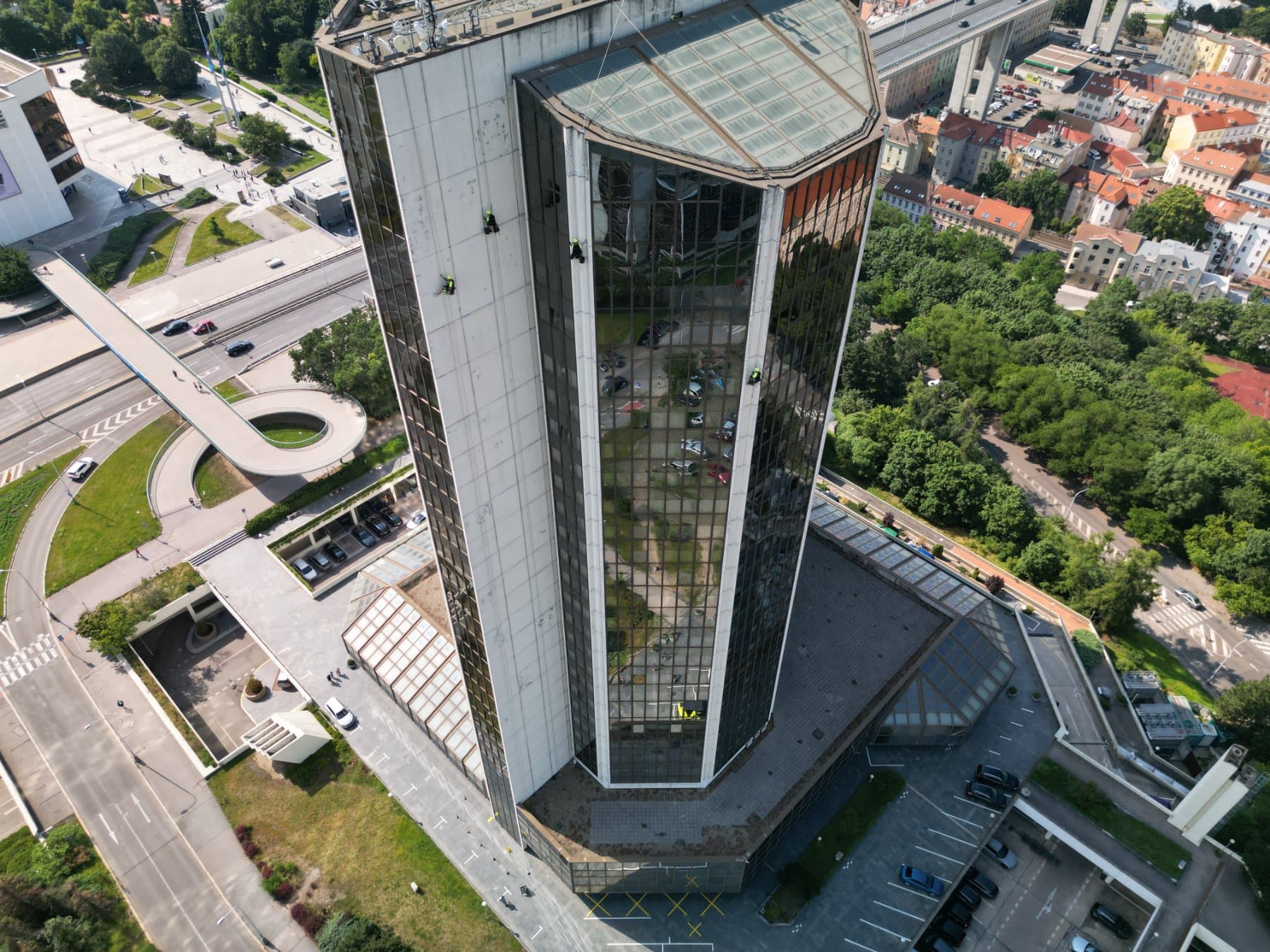
DroneScope‑Tech handles aerial work from the first site survey to the delivery of finished outputs — filming and photography, inspections, mapping, thermography and websites. Equipment matched to the brief and a single point of contact for the whole project.
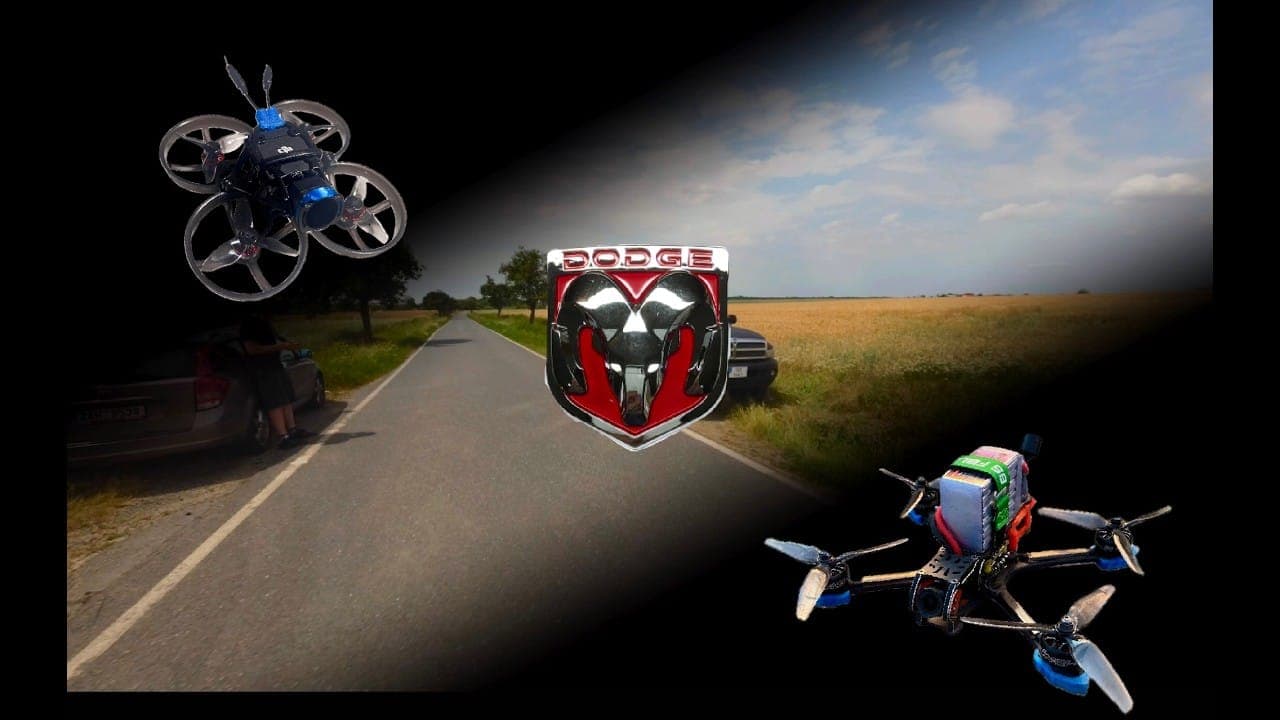
Two types of aircraft are available. Stabilised drones for documentation, inspections and smooth aerial footage. FPV for dynamic fly-throughs of halls, interiors and tight spaces where a conventional drone couldn't even turn around.
- QualificationA2 pilot certificate
- OperationsRegistered UAS operator
- RegulationCompliant with EU 2019/947
- CoverageBased in Czechia — available worldwide
- EquipmentStabilised & FPV drones + 360 cameras
What we can arrange for you — from the shot to a finished website.
Scroll through the cards and tap a service to find out more.
Measurements and analyses with specialist equipment — outputs prepared to match your project.
Phase 01 — Approach
Every flight starts with reconnaissance.
Scrolling the page steers the shot — this isn't a video to watch, it's a fly-through at your own pace.
Phase 02 — Entry
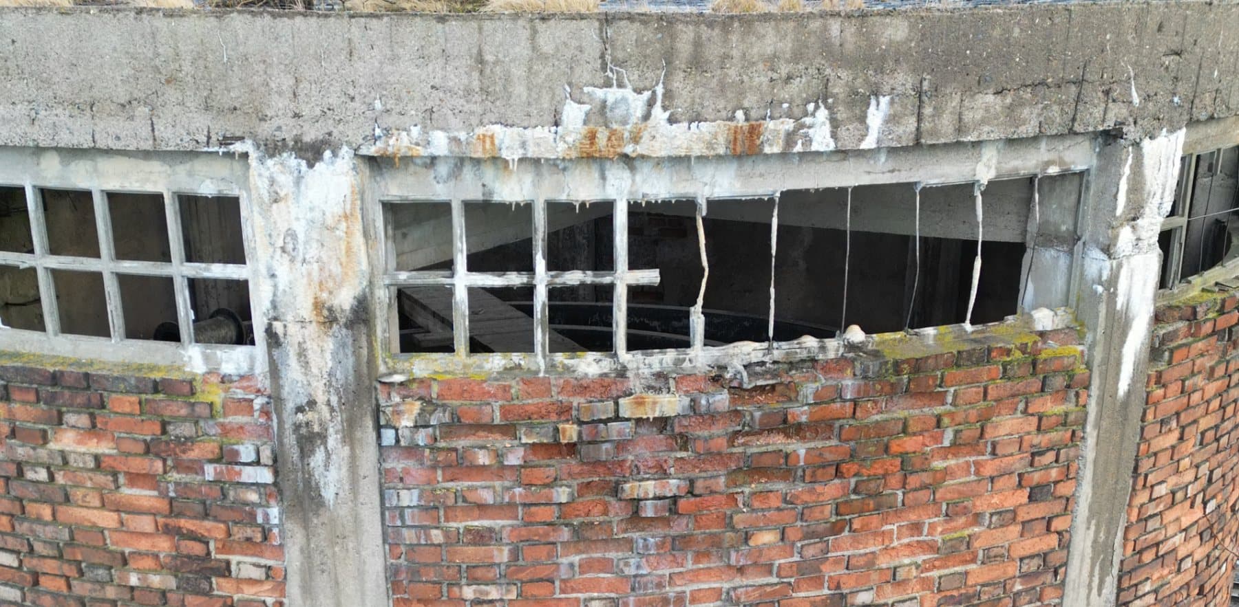
Through doors, windows and gaps in machinery.
A compact FPV drone with prop guards gets into places where a conventional drone couldn't turn around.
Phase 03 — Interior
The whole building in a single shot.
Halls, warehouses, buildings under construction. Viewers move through the space as if they were flying it themselves.
Phase 04 — Exit
A shot they'll remember.
That's the power of FPV. Want a fly-through like this for your project?
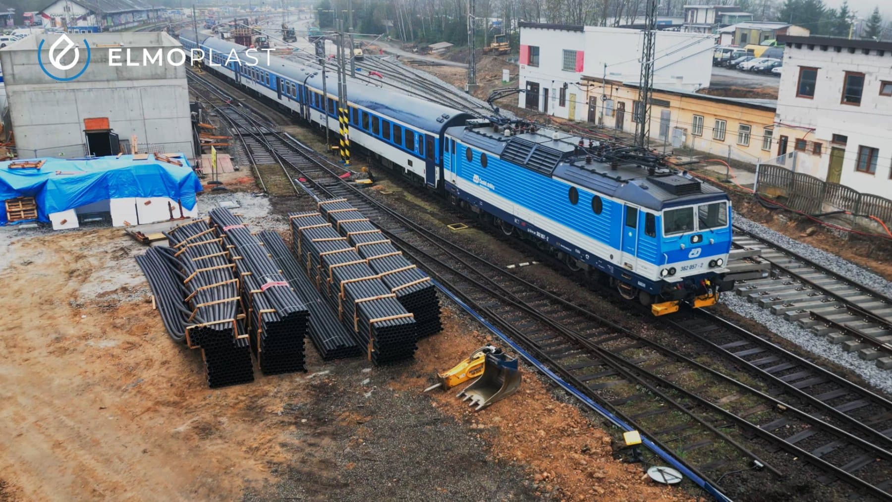
Drag or scroll sideways
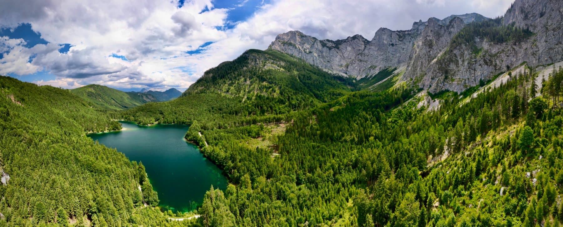
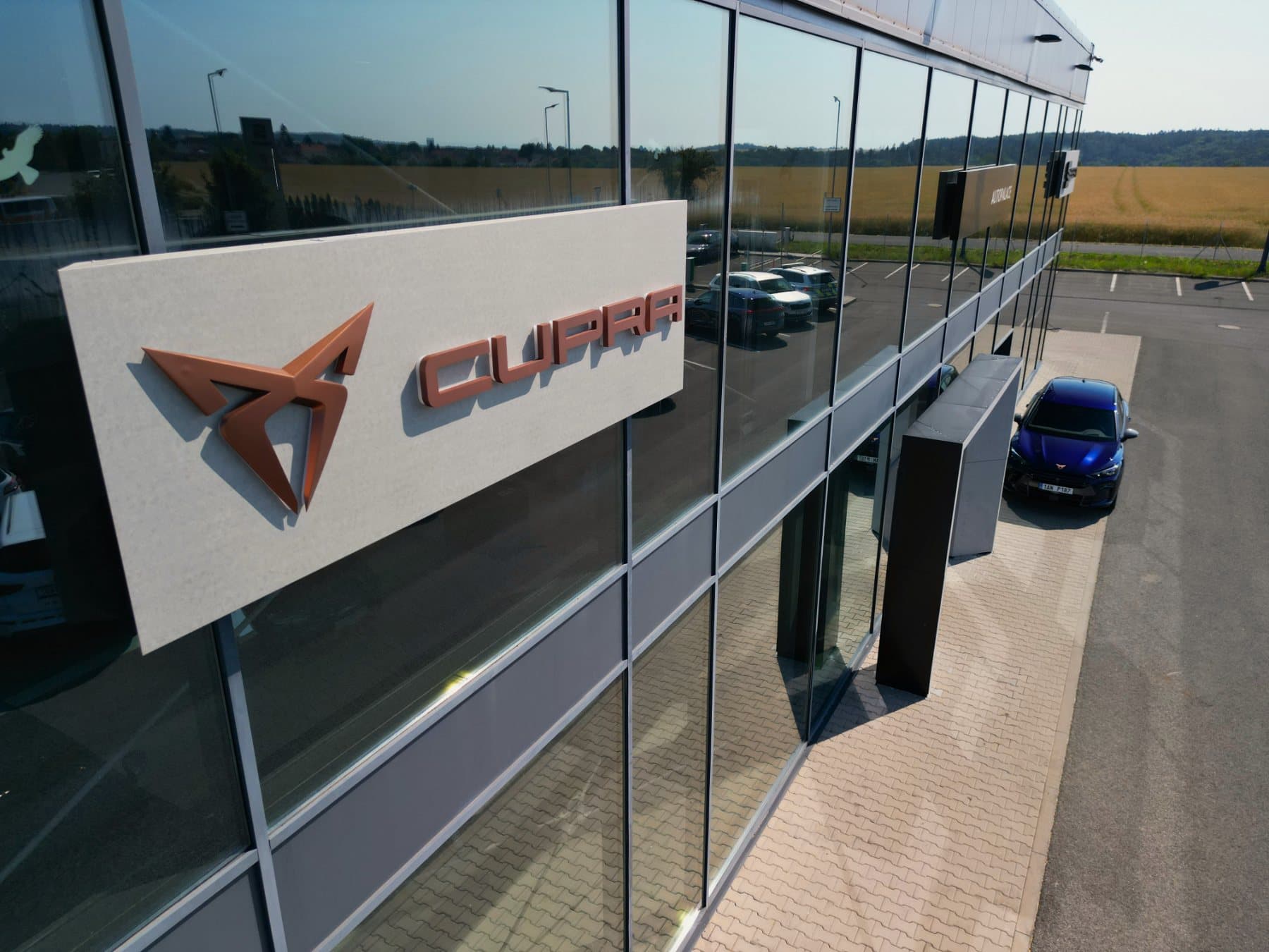
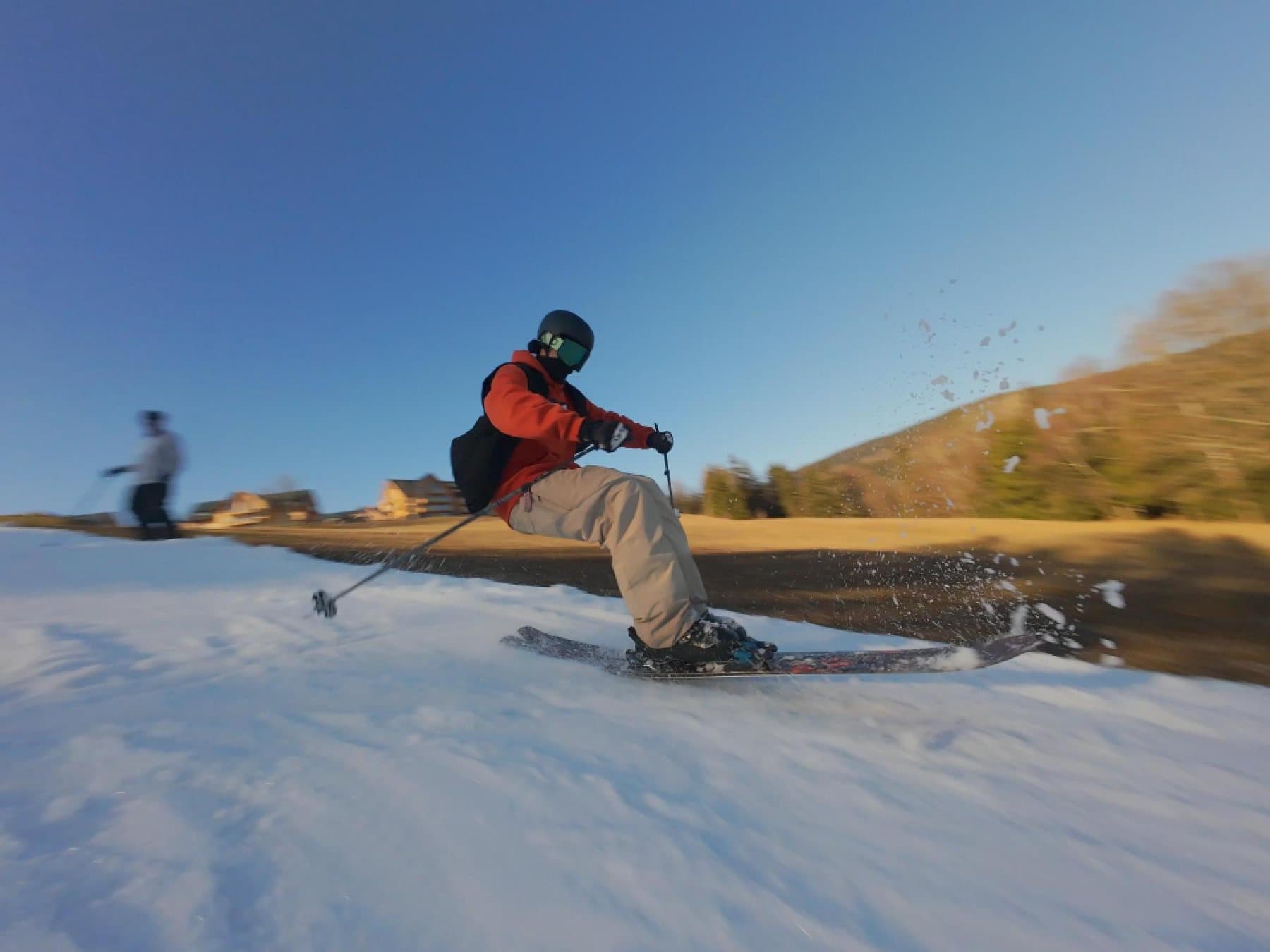
Selected shots from our flights
From enquiry to deliverables in four steps.
Enquiry and consultation
We discuss your plans, recommend a suitable solution and prepare a quote. Free and without obligation.
Site survey and flight plan
Site reconnaissance, permits and a safe flight plan. We take care of the paperwork for you.
Execution
We capture the data and footage according to the approved plan, scheduling around the weather and site operations.
Processing and handover
Maps, 3D models, reports or an edited video — in the format you'll actually use.
Let's talk about your project.
- Phone+420 775 525 636
- E‑mailinfo@dronescope-tech.cz
- YouTube@dronescopetech ↗